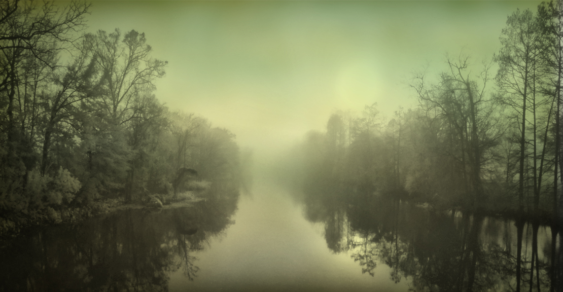
The written history of Bayou Lafourche begins in the late 1700s with the arrival of the first European settlers to the area. But the history of the oaks and all they’ve witnessed along the bayou is much older. The name, “Lafourche,” is French and means “the fork.” That’s because the bayou branches off of the Mississippi River at Donaldsonville forming a fork or distributary that empties into the Gulf of Mexico. Geologists say that at one time the bayou was the main course of the Mississippi.
Early explorers named the bayou and its surrounding area, La Fourche des Chetimachas, meaning the fork of the Chetimachas, after a Native American tribe they found living in the region along the bayou. The Chetimachas and other native tribes including the Washa (Ouacha), and Chawasha (Chaouacha) were the original inhabitants of Bayou Lafourche. Their settlements often were situated on areas of high ground, the same places where live oaks naturally grow. Some of the oldest oaks in this Lafourche Live Oak Tour could well have shaded the settlements of these native peoples long before European explorers and immigrants arrived.
Expelled by the British in 1755 from their Canadian homeland, French Acadians began to arrive in Louisiana in a series of waves that lasted several decades. The first Acadians settled primarily along the Mississippi River, on the upper fringe of the German Coast, an area along the Mississippi River above New Orleans where the first successful pioneers were settled in 1721 by John Law’s Company of the Indies.
As the Acadian’s numbers grew, this area on the Mississippi became known as the “Acadian Coast.” In time, the first Acadians were joined by other immigrants – Germans, French, Spanish, Irish, Africans, and others, all seeking their own new “homeland” in the Louisiana territory. With each additional wave of immigrants, their settlements moved farther upriver and then inland along Bayou Lafourche, where new land offered new opportunities for the freedom and peace they sought.
These early immigrants settled first close to the fork of the Mississippi near present-day Donaldsonville, Belle Rose, Paincourtville, and Plattenville. An early census of 1769 estimated the population of Lafourche at 267 persons of all ages, sex, and color, living within a 35-mile stretch from Donaldsonville to approximately where Thibodaux is today. In 1778, a group of Spanish immigrants from the Canary Islands were settled near Donaldsonville by the Spanish Government, and after 1785, additional small groups of Acadians followed after learning of the availability of land offered by Spain. Slowly, settlements were established farther and farther down the length of the bayou.
Following the “Norman long-lot” model begun on the German Coast along the Mississippi River, the early land grant tracts on Bayou Lafourche were shaped like long slender rectangles. Each had a narrow front access to the bayou, usually no more than a few hundred feet wide, and were from 40 to 80 arpents deep (approximately a mile and a half to three miles). This pattern of development was common and can still be seen in rural properties today along the bayou.²
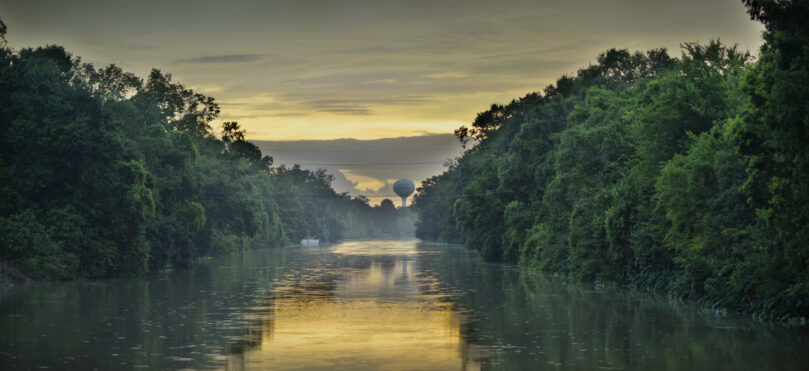
Settlers built their farmsteads on the natural high ground near the bayou built up from centuries of sediment left from spring flooding. This fertile land nearest the bayou was ordinarily used for gardens and larger commercial farms, while the lower-lying areas to the rear of the tract gave each settler access to the swampland and the wildlife that lived there. Access to the bayou gave the settlers an onramp to the main route of trade and transportation in and out of the area. By the early 1900s, homesteads stretched the length of Bayou Lafourche almost 80 miles from Donaldsonville to Golden Meadow, giving rise to Bayou Lafourche being called the “longest main street in the world.”
The descendants of these various cultures and ethnic groups, Germans, Spanish, Americans, Italians, Indians, and Africans eventually merged their unique traditions, cultural practices, and bloodlines to form what’s known today as Louisiana’s Cajun Bayou culture.
The National Park Service offers boat tours of the upper Bayou Lafourche area out of their headquarters in Thibodaux (314 St. Mary Street). Reservations are required; call their Wetlands Acadian Cultural Center, at 985-448-1375 for information.
The Lafourche Live Oak Tour was created through the generous support of the Louisiana’s Cajun Bayou Tourism. For more information on Lafourche Parish events and activities, visit their website at LACajunBayou.com. All photographs and content ©William Guion, 2017.
My great grandfather Arthur Ledet and Georgina Toups Ledet were early 1900 residents of Lafourche. Pawpaw used to tell me it was God’s Country. We live in Southest Texas but I’d love for my husband and I to visit God’s Country before we are too old to go.
Judi and Ronnie Benoit